A13 towards Stanford-le-Hope
Introduction
The photograph on this page of A13 towards Stanford-le-Hope by David Anstiss as part of the Geograph project.
The Geograph project started in 2005 with the aim of publishing, organising and preserving representative images for every square kilometre of Great Britain, Ireland and the Isle of Man.

There are currently over 7.5m images from over 14,400 individuals and you can help contribute to the project by visiting https://www.geograph.org.uk
A13 towards Stanford-le-Hope
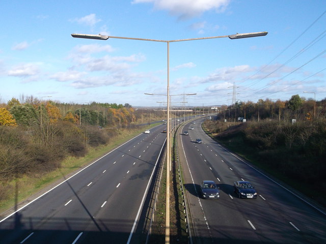
Image: © David Anstiss Taken: 25 Nov 2012
As seen from the A1012 roundabout junction. The dual carriageway leads from Thurrock.
Images are licensed for reuse under creativecommons.org/licenses/by-sa/2.0
Image Location
Latitude
51.49957
Longitude
0.315669