Footpath Waymark
Introduction
The photograph on this page of Footpath Waymark by John Myers as part of the Geograph project.
The Geograph project started in 2005 with the aim of publishing, organising and preserving representative images for every square kilometre of Great Britain, Ireland and the Isle of Man.

There are currently over 7.5m images from over 14,400 individuals and you can help contribute to the project by visiting https://www.geograph.org.uk
Footpath Waymark
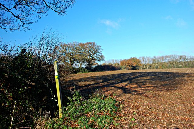
Image: © John Myers Taken: 29 Nov 2012
Rather than continuing to follow this field edge, the footpath runs across the middle of the field to the right and up the far edge before coming back to the straight route at the oaks on the horizon. No obvious visible reason for the diversion.
Images are licensed for reuse under creativecommons.org/licenses/by-sa/2.0
Image Location
Latitude
51.657378
Longitude
0.479574