Path to Overton Road
Introduction
The photograph on this page of Path to Overton Road by Lairich Rig as part of the Geograph project.
The Geograph project started in 2005 with the aim of publishing, organising and preserving representative images for every square kilometre of Great Britain, Ireland and the Isle of Man.

There are currently over 7.5m images from over 14,400 individuals and you can help contribute to the project by visiting https://www.geograph.org.uk
Path to Overton Road
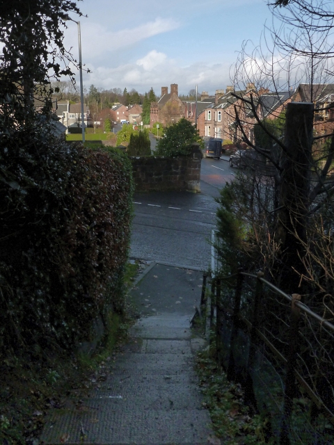
Image: © Lairich Rig Taken: 23 Nov 2012
The path leads down, by means of steps, from the northern end of Image to Image, which crosses from left to right at the foot of the steps. The road in the background is Image; in the background of that photograph (and of the present picture) the Image can be seen.
Images are licensed for reuse under creativecommons.org/licenses/by-sa/2.0
Image Location
Latitude
55.985911
Longitude
-4.585075