Dock Approach Road to Tilbury
Introduction
The photograph on this page of Dock Approach Road to Tilbury by David Anstiss as part of the Geograph project.
The Geograph project started in 2005 with the aim of publishing, organising and preserving representative images for every square kilometre of Great Britain, Ireland and the Isle of Man.

There are currently over 7.5m images from over 14,400 individuals and you can help contribute to the project by visiting https://www.geograph.org.uk
Dock Approach Road to Tilbury
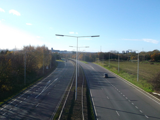
Image: © David Anstiss Taken: 25 Nov 2012
As seen from Marshfoot Road (to Chadwell St Mary). The A1089 Dual carriageway leads between Tilbury and the A13. The A126 Marshfoot Road junction is in the background. In the far distance, on the right are tower blocks in Grays.
Images are licensed for reuse under creativecommons.org/licenses/by-sa/2.0
Image Location


Leaflet Map data © OpenStreetMap
Latitude
51.480127
Longitude
0.352707