Shandon House, Camp Road at Christian Street junction
Introduction
The photograph on this page of Shandon House, Camp Road at Christian Street junction by Roger Templeman as part of the Geograph project.
The Geograph project started in 2005 with the aim of publishing, organising and preserving representative images for every square kilometre of Great Britain, Ireland and the Isle of Man.

There are currently over 7.5m images from over 14,400 individuals and you can help contribute to the project by visiting https://www.geograph.org.uk
Shandon House, Camp Road at Christian Street junction
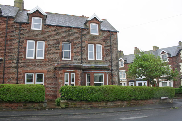
Image: © Roger Templeman Taken: 27 Jun 2012
There is an OS benchmark Image on a corner stone at the front right of the house
Images are licensed for reuse under creativecommons.org/licenses/by-sa/2.0
Image Location
Latitude
54.71804
Longitude
-3.495564