View upstream from the new Northside Bridge
Introduction
The photograph on this page of View upstream from the new Northside Bridge by Graham Robson as part of the Geograph project.
The Geograph project started in 2005 with the aim of publishing, organising and preserving representative images for every square kilometre of Great Britain, Ireland and the Isle of Man.

There are currently over 7.5m images from over 14,400 individuals and you can help contribute to the project by visiting https://www.geograph.org.uk
View upstream from the new Northside Bridge
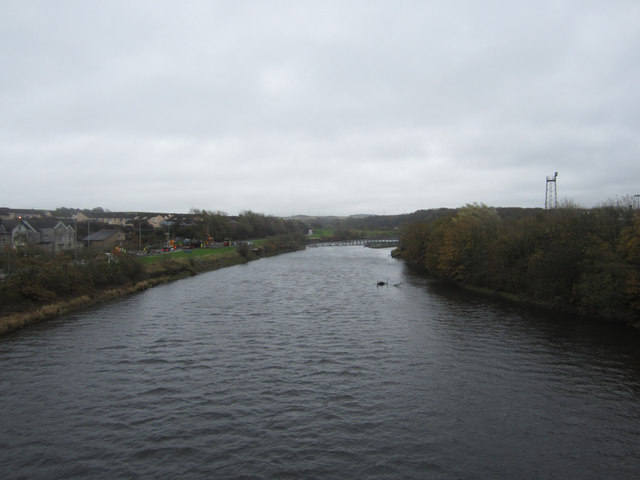
Image: © Graham Robson Taken: 6 Nov 2012
Looking upstream from the centre of the recently opened new Northside Bridge. The construction vehicles on the left bank of the River Derwent are in the process of returning the site of the temporary bridge landing back to its former state after its removal. The new Northside Bridge was officially opened by the Princess Royal on 22nd October 2012 after the former bridge on the site was washed away during flooding in November 2009.
Images are licensed for reuse under creativecommons.org/licenses/by-sa/2.0
Image Location
Latitude
54.649841
Longitude
-3.551335