Houses in Pebworth
Introduction
The photograph on this page of Houses in Pebworth by Nigel Mykura as part of the Geograph project.
The Geograph project started in 2005 with the aim of publishing, organising and preserving representative images for every square kilometre of Great Britain, Ireland and the Isle of Man.

There are currently over 7.5m images from over 14,400 individuals and you can help contribute to the project by visiting https://www.geograph.org.uk
Houses in Pebworth
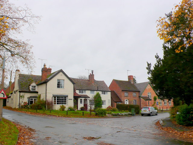
Image: © Nigel Mykura Taken: 28 Oct 2012
This small village which has merged over the years with neighbouring Broad marston is tucked in the north east corner of the square. this is the very centre of the village where Back Lane and Front St meets the Dorsington Rd (on the right here) and the road to the Littletons (on the left).
Images are licensed for reuse under creativecommons.org/licenses/by-sa/2.0
Image Location


Leaflet Map data © OpenStreetMap
Latitude
52.120629
Longitude
-1.813736