New housing development at St Fillans
Introduction
The photograph on this page of New housing development at St Fillans by Anthony O'Neil as part of the Geograph project.
The Geograph project started in 2005 with the aim of publishing, organising and preserving representative images for every square kilometre of Great Britain, Ireland and the Isle of Man.

There are currently over 7.5m images from over 14,400 individuals and you can help contribute to the project by visiting https://www.geograph.org.uk
New housing development at St Fillans
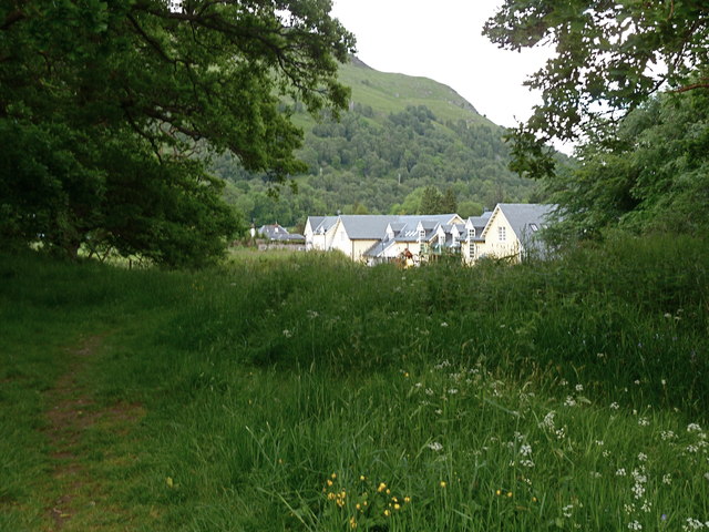
Image: © Anthony O'Neil Taken: 12 Jun 2012
Glimpsed from the adjacent oak wood.
Images are licensed for reuse under creativecommons.org/licenses/by-sa/2.0
Image Location
Latitude
56.392765
Longitude
-4.112233