Empty Streets ? Higher Openshaw
Introduction
The photograph on this page of Empty Streets ? Higher Openshaw by John Topping as part of the Geograph project.
The Geograph project started in 2005 with the aim of publishing, organising and preserving representative images for every square kilometre of Great Britain, Ireland and the Isle of Man.

There are currently over 7.5m images from over 14,400 individuals and you can help contribute to the project by visiting https://www.geograph.org.uk
Empty Streets ? Higher Openshaw
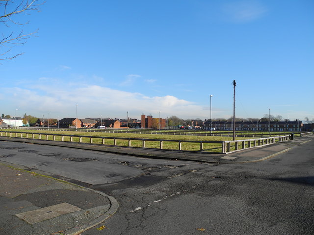
Image: © John Topping Taken: 5 Nov 2012
Waiting for the redevelopment of the Toxteth Street area, from the 2005 East Manchester Redevelopment Plan!
Images are licensed for reuse under creativecommons.org/licenses/by-sa/2.0
Image Location
Latitude
53.473858
Longitude
-2.156496