Marston Grange
Introduction
The photograph on this page of Marston Grange by Nigel Mykura as part of the Geograph project.
The Geograph project started in 2005 with the aim of publishing, organising and preserving representative images for every square kilometre of Great Britain, Ireland and the Isle of Man.

There are currently over 7.5m images from over 14,400 individuals and you can help contribute to the project by visiting https://www.geograph.org.uk
Marston Grange
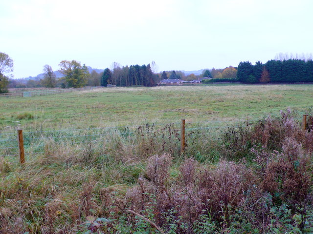
Image: © Nigel Mykura Taken: 28 Oct 2012
Marston Grange is the group of buildings in the centre of the image on the far side of the rough pasture field.
Images are licensed for reuse under creativecommons.org/licenses/by-sa/2.0
Image Location
Latitude
52.11544
Longitude
-1.776956