Southern junction of Parkend Road and Parkend Walk, Coalway
Introduction
The photograph on this page of Southern junction of Parkend Road and Parkend Walk, Coalway by Jaggery as part of the Geograph project.
The Geograph project started in 2005 with the aim of publishing, organising and preserving representative images for every square kilometre of Great Britain, Ireland and the Isle of Man.

There are currently over 7.5m images from over 14,400 individuals and you can help contribute to the project by visiting https://www.geograph.org.uk
Southern junction of Parkend Road and Parkend Walk, Coalway
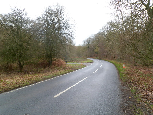
Image: © Jaggery Taken: 11 Dec 2011
Viewed across Parkend Road. The roads which diverged about 220 metres behind the camera meet again ahead on the left. This view is of the western edge of the Forest of Dean.
Images are licensed for reuse under creativecommons.org/licenses/by-sa/2.0
Image Location


Leaflet Map data © OpenStreetMap
Latitude
51.786866
Longitude
-2.597826