Towards Ogston Reservoir from Butterley Top Farm
Introduction
The photograph on this page of Towards Ogston Reservoir from Butterley Top Farm by Jonathan Clitheroe as part of the Geograph project.
The Geograph project started in 2005 with the aim of publishing, organising and preserving representative images for every square kilometre of Great Britain, Ireland and the Isle of Man.

There are currently over 7.5m images from over 14,400 individuals and you can help contribute to the project by visiting https://www.geograph.org.uk
Towards Ogston Reservoir from Butterley Top Farm
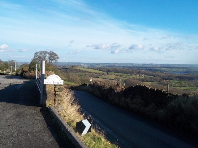
Image: © Jonathan Clitheroe Taken: 25 Nov 2012
This farm enjoys an enviable spot on a scarp near Ravensnest Tor.
Images are licensed for reuse under creativecommons.org/licenses/by-sa/2.0
Image Location


Leaflet Map data © OpenStreetMap
Latitude
53.137652
Longitude
-1.483057