'The Gaza Strip', Sullom
Introduction
The photograph on this page of 'The Gaza Strip', Sullom by Mike Pennington as part of the Geograph project.
The Geograph project started in 2005 with the aim of publishing, organising and preserving representative images for every square kilometre of Great Britain, Ireland and the Isle of Man.

There are currently over 7.5m images from over 14,400 individuals and you can help contribute to the project by visiting https://www.geograph.org.uk
'The Gaza Strip', Sullom
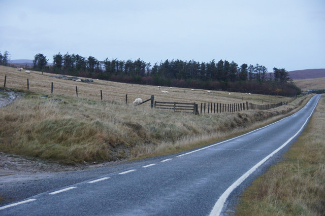
Image: © Mike Pennington Taken: 25 Nov 2012
This long strip plantation is next to a house called Gaza, hence the nickname, although it is more often referred to as Sullom plantation.
Images are licensed for reuse under creativecommons.org/licenses/by-sa/2.0
Image Location
Latitude
60.436418
Longitude
-1.365224