Centisquare Aerial
Introduction
The photograph on this page of Centisquare Aerial by terry joyce as part of the Geograph project.
The Geograph project started in 2005 with the aim of publishing, organising and preserving representative images for every square kilometre of Great Britain, Ireland and the Isle of Man.

There are currently over 7.5m images from over 14,400 individuals and you can help contribute to the project by visiting https://www.geograph.org.uk
Centisquare Aerial
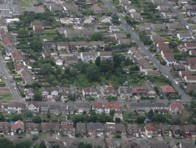
Image: © terry joyce Taken: 29 Jun 2012
Centisquare TQ808921 starts in the gardens of Brixham Close and Downhall Road, which is the green area in the centre of the picture.
Images are licensed for reuse under creativecommons.org/licenses/by-sa/2.0
Image Location
Latitude
51.598712
Longitude
0.609518