Western end of Cwrdy Lane south of Penyrheol
Introduction
The photograph on this page of Western end of Cwrdy Lane south of Penyrheol by Jaggery as part of the Geograph project.
The Geograph project started in 2005 with the aim of publishing, organising and preserving representative images for every square kilometre of Great Britain, Ireland and the Isle of Man.

There are currently over 7.5m images from over 14,400 individuals and you can help contribute to the project by visiting https://www.geograph.org.uk
Western end of Cwrdy Lane south of Penyrheol
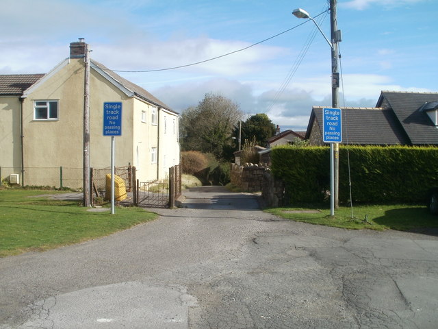
Image: © Jaggery Taken: 8 Oct 2011
Cwrdy Lane heads east away from Mountain Road towards Cwrdy Road and the Griffithstown area of Pontypool. Blue signs show that Cwrdy Lane is a single track road with no passing places (because of the steep-sided edges of the lane). If two vehicles meet ahead, which one has to reverse?
Images are licensed for reuse under creativecommons.org/licenses/by-sa/2.0
Image Location
Latitude
51.682266
Longitude
-3.040645