Houses of Barton Dale (B6412)
Introduction
The photograph on this page of Houses of Barton Dale (B6412) by Roger Templeman as part of the Geograph project.
The Geograph project started in 2005 with the aim of publishing, organising and preserving representative images for every square kilometre of Great Britain, Ireland and the Isle of Man.

There are currently over 7.5m images from over 14,400 individuals and you can help contribute to the project by visiting https://www.geograph.org.uk
Houses of Barton Dale (B6412)
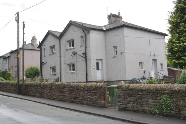
Image: © Roger Templeman Taken: 24 Jun 2012
There is an OS benchmark Image on the wall in front of the near house.
Images are licensed for reuse under creativecommons.org/licenses/by-sa/2.0
Image Location
Latitude
54.747705
Longitude
-2.701375