Houses at the western edge Griffithstown, Pontypool
Introduction
The photograph on this page of Houses at the western edge Griffithstown, Pontypool by Jaggery as part of the Geograph project.
The Geograph project started in 2005 with the aim of publishing, organising and preserving representative images for every square kilometre of Great Britain, Ireland and the Isle of Man.

There are currently over 7.5m images from over 14,400 individuals and you can help contribute to the project by visiting https://www.geograph.org.uk
Houses at the western edge Griffithstown, Pontypool
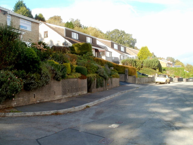
Image: © Jaggery Taken: 8 Oct 2011
Viewed from the corner of Cwrdy Road and Cwrdy Lane. http://www.geograph.org.uk/photo/3240014 These houses are in the western arm of St Augustine Road. Ahead, the road bends to the right and rejoins Cwrdy Road about 100 metres to the east.
Images are licensed for reuse under creativecommons.org/licenses/by-sa/2.0
Image Location
Latitude
51.683406
Longitude
-3.033728