Unnamed stream above Oakymead Park
Introduction
The photograph on this page of Unnamed stream above Oakymead Park by Robin Stott as part of the Geograph project.
The Geograph project started in 2005 with the aim of publishing, organising and preserving representative images for every square kilometre of Great Britain, Ireland and the Isle of Man.

There are currently over 7.5m images from over 14,400 individuals and you can help contribute to the project by visiting https://www.geograph.org.uk
Unnamed stream above Oakymead Park
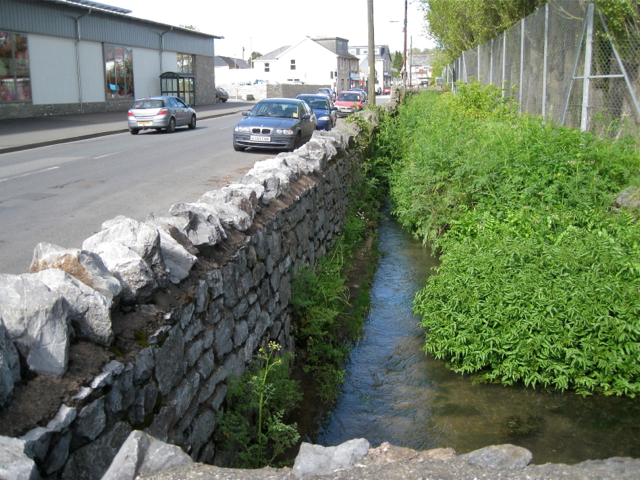
Image: © Robin Stott Taken: 8 May 2012
There seems a strong possibility that this is a former mill stream. Old maps show a Higher Mill to the north, apparently on the course. It may be fed from a water body called Well Head at SX87337376 in the Rydon area. Newton Road and the Lidl store, left.
Images are licensed for reuse under creativecommons.org/licenses/by-sa/2.0
Image Location
Latitude
50.545172
Longitude
-3.597041