Cycle Route 6 leaving Bestwood Country Park
Introduction
The photograph on this page of Cycle Route 6 leaving Bestwood Country Park by Tim Heaton as part of the Geograph project.
The Geograph project started in 2005 with the aim of publishing, organising and preserving representative images for every square kilometre of Great Britain, Ireland and the Isle of Man.

There are currently over 7.5m images from over 14,400 individuals and you can help contribute to the project by visiting https://www.geograph.org.uk
Cycle Route 6 leaving Bestwood Country Park
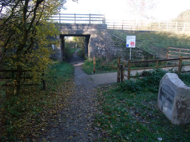
Image: © Tim Heaton Taken: 11 Nov 2012
Heading towards Hucknall beneath a disused railway line which used to serve the Calverton coal mine. The County Council is buying this and other disused lines, and will open them as footpaths, bridleways and cycle paths.
Images are licensed for reuse under creativecommons.org/licenses/by-sa/2.0
Image Location
Latitude
53.030885
Longitude
-1.182678