Lower part of the graveyard of the former St Mary?s Church, Luddendenfoot
Introduction
The photograph on this page of Lower part of the graveyard of the former St Mary?s Church, Luddendenfoot by Humphrey Bolton as part of the Geograph project.
The Geograph project started in 2005 with the aim of publishing, organising and preserving representative images for every square kilometre of Great Britain, Ireland and the Isle of Man.

There are currently over 7.5m images from over 14,400 individuals and you can help contribute to the project by visiting https://www.geograph.org.uk
Lower part of the graveyard of the former St Mary?s Church, Luddendenfoot
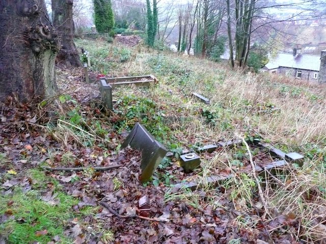
Image: © Humphrey Bolton Taken: 26 Nov 2012
See also Image This part is not cared for at present, although some graves are evidently visited.
Images are licensed for reuse under creativecommons.org/licenses/by-sa/2.0
Image Location
Latitude
53.720499
Longitude
-1.949955