Flatt Bridge
Introduction
The photograph on this page of Flatt Bridge by G Laird as part of the Geograph project.
The Geograph project started in 2005 with the aim of publishing, organising and preserving representative images for every square kilometre of Great Britain, Ireland and the Isle of Man.

There are currently over 7.5m images from over 14,400 individuals and you can help contribute to the project by visiting https://www.geograph.org.uk
Flatt Bridge
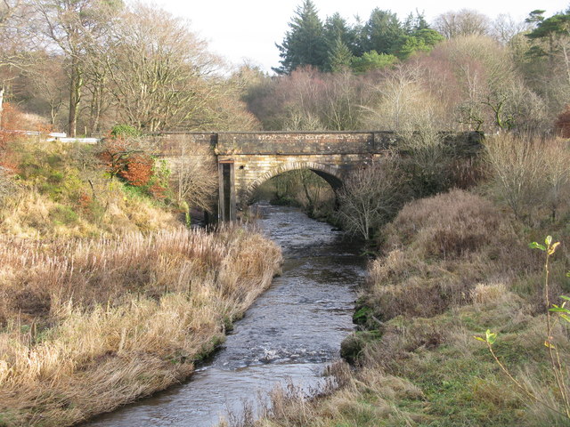
Image: © G Laird Taken: 26 Nov 2012
Prior to the realignment many years ago of the A726 (East Kilbride to Strathaven Road) and the construction of a new bridge, Flatt Bridge formerly carried the A726 across the Calder Water.
Images are licensed for reuse under creativecommons.org/licenses/by-sa/2.0
Image Location
Latitude
55.738247
Longitude
-4.153828