
Reflections at Little Ludderburn Moss
Introduction
The photograph on this page of Reflections at Little Ludderburn Moss by Karl and Ali as part of the Geograph project.
The Geograph project started in 2005 with the aim of publishing, organising and preserving representative images for every square kilometre of Great Britain, Ireland and the Isle of Man.

There are currently over 7.5m images from over 14,400 individuals and you can help contribute to the project by visiting https://www.geograph.org.uk
Reflections at Little Ludderburn Moss
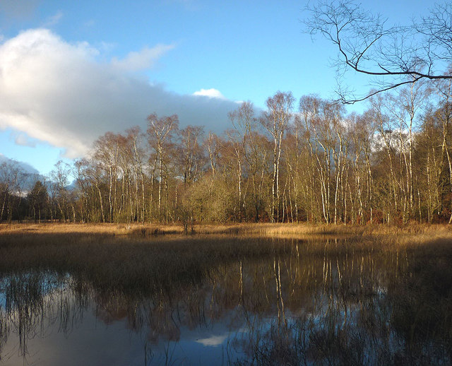
Image: © Karl and Ali Taken: 25 Nov 2012
The moss is a nature reserve and part of a larger area to the north that includes Great Ludderburn Moss and Green Hill. The path around the eastern edge is now a public footpath but is shown as a permissive path on my older map (as is that which circles round Green Hill). The body of water is appreciably larger than the map shows, probably swollen by the wet summer and continuing wet autumn. I just managed to catch the last direct sunlight striking the birch trees on the shore.
Images are licensed for reuse under creativecommons.org/licenses/by-sa/2.0
Image Location

Latitude
54.316679
Longitude
-2.916616