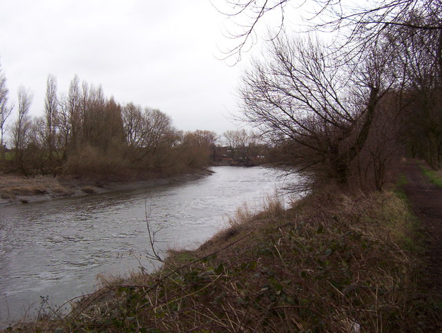
River Mersey
Introduction
The photograph on this page of River Mersey by Keith Williamson as part of the Geograph project.
The Geograph project started in 2005 with the aim of publishing, organising and preserving representative images for every square kilometre of Great Britain, Ireland and the Isle of Man.
There are currently over 7.5m images from over 14,400 individuals and you can help contribute to the project by visiting https://www.geograph.org.uk

Image: © Keith Williamson Taken: 28 Jan 2007
South of Warrington the river executes several large meanders. This photograph was taken at the apex of one of these, looking upstream. In the distant centre, but obscured by the foreground tree, is part of the original course of the river. The arm coming in from the rear left is a manmade alteration to the river course made to straighten the river upstream of this point.The original channel linked the river to the Manchester Ship Canal when the latter was constructed in the 1890s. The path on the extreme right forms part of the Transpennine Trail and, just out of the picture further right, lies a section of the Runcorn and Latchford Canal.

