Duncanrig Secondary School
Introduction
The photograph on this page of Duncanrig Secondary School by G Laird as part of the Geograph project.
The Geograph project started in 2005 with the aim of publishing, organising and preserving representative images for every square kilometre of Great Britain, Ireland and the Isle of Man.

There are currently over 7.5m images from over 14,400 individuals and you can help contribute to the project by visiting https://www.geograph.org.uk
Duncanrig Secondary School
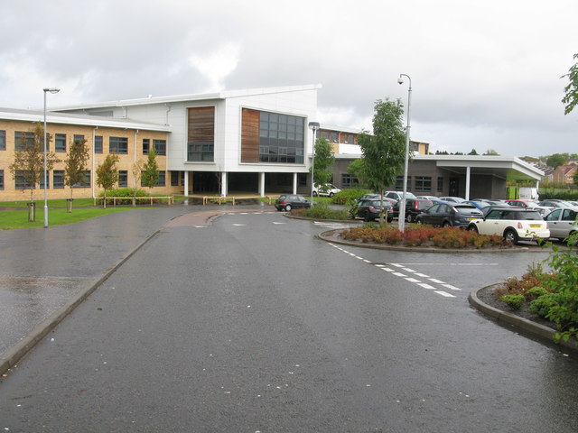
Image: © G Laird Taken: 2 Oct 2012
A new school building officially opened in 2008 built on the site of the playing fields of the original building.
Images are licensed for reuse under creativecommons.org/licenses/by-sa/2.0
Image Location
Latitude
55.759004
Longitude
-4.204701