South side of Kensington Temple, London
Introduction
The photograph on this page of South side of Kensington Temple, London by Jaggery as part of the Geograph project.
The Geograph project started in 2005 with the aim of publishing, organising and preserving representative images for every square kilometre of Great Britain, Ireland and the Isle of Man.

There are currently over 7.5m images from over 14,400 individuals and you can help contribute to the project by visiting https://www.geograph.org.uk
South side of Kensington Temple, London
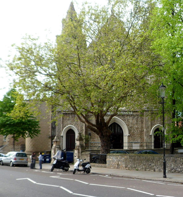
Image: © Jaggery Taken: 13 May 2012
Viewed across Ladbroke Road. The temple is on the corner of Kensington Park Road. Officially opened in September 1849 as Horbury Chapel, Notting Hill, part of the Congregational Church. In 1931, the church was sold to a new and growing movement known as Elim Foursquare Gospel Alliance. It is now (2012) known as Kensington Temple, part of Elim Pentecostal Church.
Images are licensed for reuse under creativecommons.org/licenses/by-sa/2.0
Image Location


Leaflet Map data © OpenStreetMap
Latitude
51.509951
Longitude
-0.198868