Cycle Route 6 approaching Mill Street playing fields
Introduction
The photograph on this page of Cycle Route 6 approaching Mill Street playing fields by Tim Heaton as part of the Geograph project.
The Geograph project started in 2005 with the aim of publishing, organising and preserving representative images for every square kilometre of Great Britain, Ireland and the Isle of Man.

There are currently over 7.5m images from over 14,400 individuals and you can help contribute to the project by visiting https://www.geograph.org.uk
Cycle Route 6 approaching Mill Street playing fields
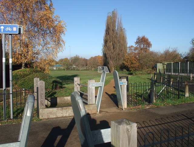
Image: © Tim Heaton Taken: 11 Nov 2012
Rather a tiresome number of 'restriction barriers' along this section of the route.
Images are licensed for reuse under creativecommons.org/licenses/by-sa/2.0
Image Location


Leaflet Map data © OpenStreetMap
Latitude
52.987506
Longitude
-1.188562