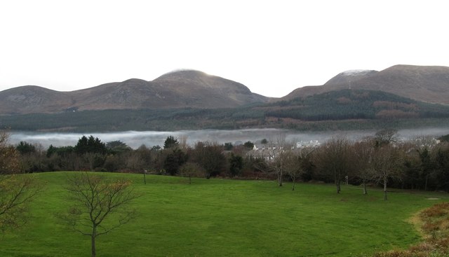
Radiation fog below the Mourne Mountains
Introduction
The photograph on this page of Radiation fog below the Mourne Mountains by Eric Jones as part of the Geograph project.
The Geograph project started in 2005 with the aim of publishing, organising and preserving representative images for every square kilometre of Great Britain, Ireland and the Isle of Man.
There are currently over 7.5m images from over 14,400 individuals and you can help contribute to the project by visiting https://www.geograph.org.uk

Image: © Eric Jones Taken: 25 Nov 2012
Radiation fog can form in mountain valleys when a temperature inversion caused by heavier cold air settling into a valley, with warmer air passing over the mountains above. In this case the fog is thickened by smoke from countless chimneys. Newcastle, like much of Northern Ireland, has no piped natural gas so most homes have a coal fire. A snow capped Slieve Donard provides the background. The same day as this image was created BBC news was reporting gale force winds and torrential rainfall over much of the British mainland.

