Flooded fields near South Marston
Introduction
The photograph on this page of Flooded fields near South Marston by Derek Harper as part of the Geograph project.
The Geograph project started in 2005 with the aim of publishing, organising and preserving representative images for every square kilometre of Great Britain, Ireland and the Isle of Man.

There are currently over 7.5m images from over 14,400 individuals and you can help contribute to the project by visiting https://www.geograph.org.uk
Flooded fields near South Marston
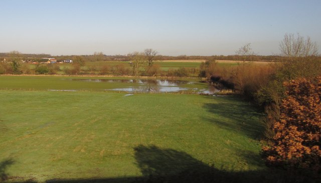
Image: © Derek Harper Taken: 23 Nov 2012
Showing the other side of the wood seen in Image], again with Rowborough Farm on the left. A tributary of the River Cole runs alongside the trees beyond the largest pool of water. A view from a Paddington-West Country train diverted from the usual route through Westbury, and terminating at Taunton instead of Penzance because of floods.
Images are licensed for reuse under creativecommons.org/licenses/by-sa/2.0
Image Location


Leaflet Map data © OpenStreetMap
Latitude
51.585091
Longitude
-1.706961