
Hesleyside Hall and Park
Introduction
The photograph on this page of Hesleyside Hall and Park by Les Hull as part of the Geograph project.
The Geograph project started in 2005 with the aim of publishing, organising and preserving representative images for every square kilometre of Great Britain, Ireland and the Isle of Man.

There are currently over 7.5m images from over 14,400 individuals and you can help contribute to the project by visiting https://www.geograph.org.uk
Hesleyside Hall and Park
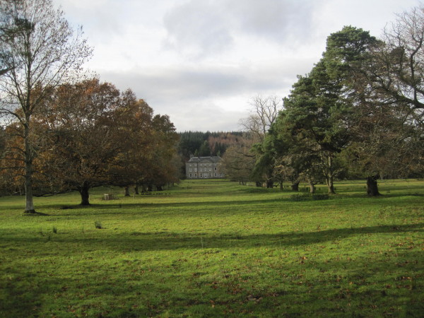
Image: © Les Hull Taken: 14 Nov 2012
This landscape park was created in around 1776 and covers about 20 hectares. Although it dates to the period when Capability Brown was working, Hesleyside is not attributed to him. The original plans for the garden included five avenues and a scheme to re-channel the Hesley Burn. Three of these avenues exist today and are planted with chestnut, lime and possibly sycamore. Other elements of the park include a walled garden and woodland. There are also remains of an early formal garden layout which may date to the early 18th century. The terrace, garden walls, gate piers, gates and forecourt walls are all Grade II Listed Buildings protected by law. This is a Grade II registered garden. http://www.keystothepast.info/durhamcc/K2P.nsf/K2PDetail?readform&PRN=N8000 This is a country house, built in 1719 with later alterations and an earlier core. It stands on or near the site of a 14th century tower house and it has been suggested that part of a wall of the tower is incorporated in the present building. This is a Grade II* Listed Building protected by law. http://www.keystothepast.info/durhamcc/K2P.nsf/K2PDetail?readform&PRN=N7973
Images are licensed for reuse under creativecommons.org/licenses/by-sa/2.0
Image Location

Latitude
55.147389
Longitude
-2.289918