Rugby-Flooding At Newbold Glebe Estate
Introduction
The photograph on this page of Rugby-Flooding At Newbold Glebe Estate by Ian Rob as part of the Geograph project.
The Geograph project started in 2005 with the aim of publishing, organising and preserving representative images for every square kilometre of Great Britain, Ireland and the Isle of Man.

There are currently over 7.5m images from over 14,400 individuals and you can help contribute to the project by visiting https://www.geograph.org.uk
Rugby-Flooding At Newbold Glebe Estate
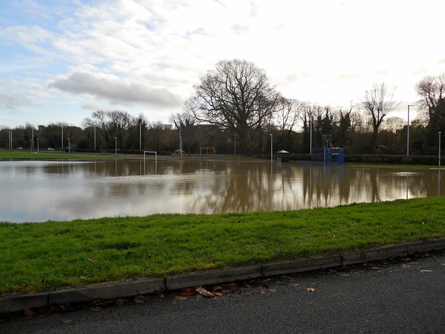
Image: © Ian Rob Taken: 25 Nov 2012
Another playing field becomes part of the River Avon.
Images are licensed for reuse under creativecommons.org/licenses/by-sa/2.0
Image Location
Latitude
52.383558
Longitude
-1.270052