The Avenue, Seaton Sluice
Introduction
The photograph on this page of The Avenue, Seaton Sluice by Robert Graham as part of the Geograph project.
The Geograph project started in 2005 with the aim of publishing, organising and preserving representative images for every square kilometre of Great Britain, Ireland and the Isle of Man.

There are currently over 7.5m images from over 14,400 individuals and you can help contribute to the project by visiting https://www.geograph.org.uk
The Avenue, Seaton Sluice
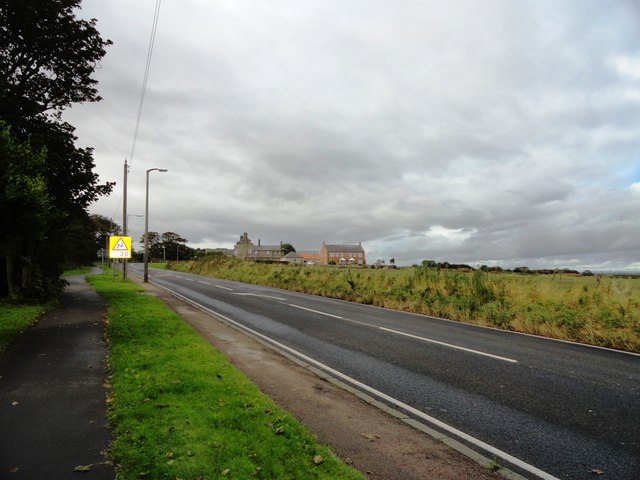
Image: © Robert Graham Taken: 3 Oct 2012
This road runs west from the village, inland to Seaton Delavel. The farm just up the road is Lookout Farm.
Images are licensed for reuse under creativecommons.org/licenses/by-sa/2.0
Image Location
Latitude
55.08439
Longitude
-1.488815