Council Housing - Giffard Road
Introduction
The photograph on this page of Council Housing - Giffard Road by John M as part of the Geograph project.
The Geograph project started in 2005 with the aim of publishing, organising and preserving representative images for every square kilometre of Great Britain, Ireland and the Isle of Man.

There are currently over 7.5m images from over 14,400 individuals and you can help contribute to the project by visiting https://www.geograph.org.uk
Council Housing - Giffard Road
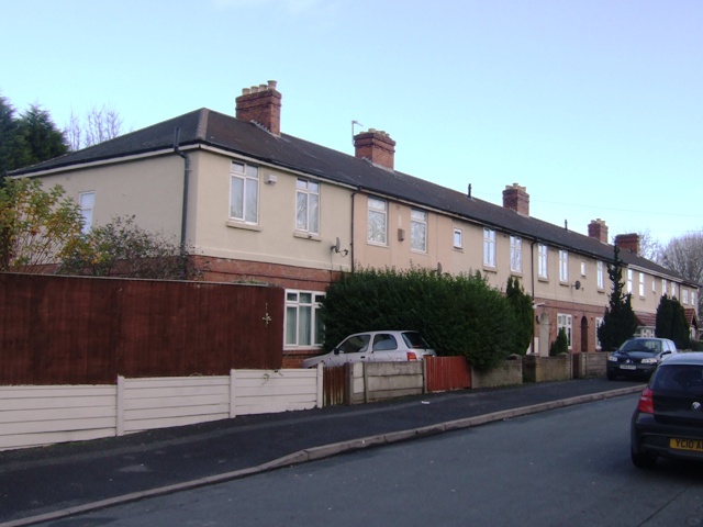
Image: © John M Taken: 25 Nov 2012
An unusually long terrace of eight properties near to East Park probably dating from the 1920s. Most council housing estates following the recommendations of the 1919 Tudor Waters Report and Design Guide were built in blocks of four houses incorporating a central passageway to remove the need for a service road to the rear.
Images are licensed for reuse under creativecommons.org/licenses/by-sa/2.0
Image Location
Latitude
52.575011
Longitude
-2.093952