Water trough, Watergate Lane Lewes
Introduction
The photograph on this page of Water trough, Watergate Lane Lewes by PAUL FARMER as part of the Geograph project.
The Geograph project started in 2005 with the aim of publishing, organising and preserving representative images for every square kilometre of Great Britain, Ireland and the Isle of Man.

There are currently over 7.5m images from over 14,400 individuals and you can help contribute to the project by visiting https://www.geograph.org.uk
Water trough, Watergate Lane Lewes
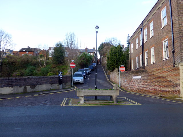
Image: © PAUL FARMER Taken: 23 Nov 2012
This marks the point where the former Watergate stood in the old medieval town walls
Images are licensed for reuse under creativecommons.org/licenses/by-sa/2.0
Image Location
Latitude
50.871379
Longitude
0.009643