Beaulieu Heath East and the trees of Hartford Heath, New Forest
Introduction
The photograph on this page of Beaulieu Heath East and the trees of Hartford Heath, New Forest by Jim Champion as part of the Geograph project.
The Geograph project started in 2005 with the aim of publishing, organising and preserving representative images for every square kilometre of Great Britain, Ireland and the Isle of Man.

There are currently over 7.5m images from over 14,400 individuals and you can help contribute to the project by visiting https://www.geograph.org.uk
Beaulieu Heath East and the trees of Hartford Heath, New Forest
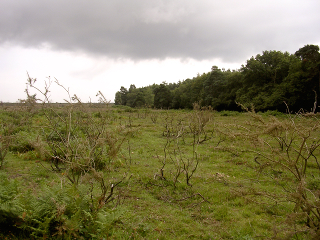
Image: © Jim Champion Taken: 1 Aug 2005
Looking south from the heathland on a showery afternoon. The edge of the wooded land marks the edge of the Forestry Commission managed heathland, with the Beaulieu Estate beyond.
Images are licensed for reuse under creativecommons.org/licenses/by-sa/2.0
Image Location


Leaflet Map data © OpenStreetMap
Latitude
50.83776
Longitude
-1.434735