Looking west across Craig Leith
Introduction
The photograph on this page of Looking west across Craig Leith by Alan O'Dowd as part of the Geograph project.
The Geograph project started in 2005 with the aim of publishing, organising and preserving representative images for every square kilometre of Great Britain, Ireland and the Isle of Man.

There are currently over 7.5m images from over 14,400 individuals and you can help contribute to the project by visiting https://www.geograph.org.uk
Looking west across Craig Leith
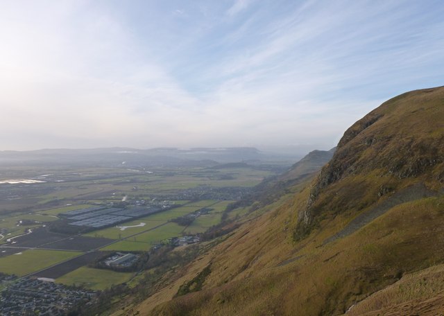
Image: © Alan O'Dowd Taken: 24 Nov 2012
Taken from Wee Torry, looking west along the Ochils escarpment. Lots of features visible on the flat River Devon floodplain below, including the towns of Alva and Menstie (with large complex of whisky warehouses), the A91 Stirling to St. Andrews road and, in the distance, Stirling and the Wallace Monument.
Images are licensed for reuse under creativecommons.org/licenses/by-sa/2.0
Image Location
Latitude
56.160013
Longitude
-3.812309