The junction of Manor Road with Vicarage Road where a brook runs underneath
Introduction
The photograph on this page of The junction of Manor Road with Vicarage Road where a brook runs underneath by Roger A Smith as part of the Geograph project.
The Geograph project started in 2005 with the aim of publishing, organising and preserving representative images for every square kilometre of Great Britain, Ireland and the Isle of Man.

There are currently over 7.5m images from over 14,400 individuals and you can help contribute to the project by visiting https://www.geograph.org.uk
The junction of Manor Road with Vicarage Road where a brook runs underneath
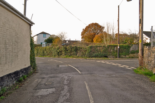
Image: © Roger A Smith Taken: 18 Nov 2012
The brook soon joins Venn Stream
Images are licensed for reuse under creativecommons.org/licenses/by-sa/2.0
Image Location
Latitude
51.062365
Longitude
-4.011094