Shrewsbury: Grope Lane
Introduction
The photograph on this page of Shrewsbury: Grope Lane by Christopher Hilton as part of the Geograph project.
The Geograph project started in 2005 with the aim of publishing, organising and preserving representative images for every square kilometre of Great Britain, Ireland and the Isle of Man.

There are currently over 7.5m images from over 14,400 individuals and you can help contribute to the project by visiting https://www.geograph.org.uk
Shrewsbury: Grope Lane
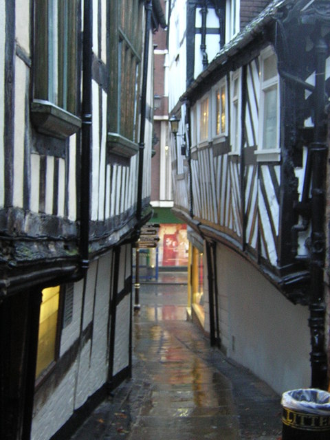
Image: © Christopher Hilton Taken: 21 Nov 2012
One of Shrewsbury's many narrow alleyways and passages ("shuts" in the local usage).
Images are licensed for reuse under creativecommons.org/licenses/by-sa/2.0
Image Location
Latitude
52.707768
Longitude
-2.753464