Nottingham, NG5 - Sherwood
Introduction
The photograph on this page of Nottingham, NG5 - Sherwood by David Hallam-Jones as part of the Geograph project.
The Geograph project started in 2005 with the aim of publishing, organising and preserving representative images for every square kilometre of Great Britain, Ireland and the Isle of Man.

There are currently over 7.5m images from over 14,400 individuals and you can help contribute to the project by visiting https://www.geograph.org.uk
Nottingham, NG5 - Sherwood
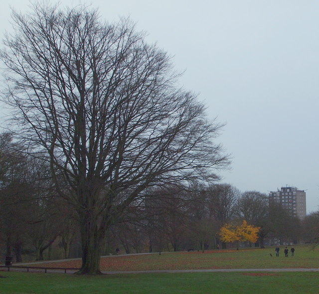
Image: © David Hallam-Jones Taken: 24 Nov 2012
A view from the Council Offices in Woodthorpe Grange Park - behind the photographer - towards the snack kiosk, with the Woodthorpe Court and Winchester Court tower blocks on Chestnut Walk in the distance.
Images are licensed for reuse under creativecommons.org/licenses/by-sa/2.0
Image Location
Latitude
52.984867
Longitude
-1.13305