Nottingham, NG5 - Sherwood
Introduction
The photograph on this page of Nottingham, NG5 - Sherwood by David Hallam-Jones as part of the Geograph project.
The Geograph project started in 2005 with the aim of publishing, organising and preserving representative images for every square kilometre of Great Britain, Ireland and the Isle of Man.

There are currently over 7.5m images from over 14,400 individuals and you can help contribute to the project by visiting https://www.geograph.org.uk
Nottingham, NG5 - Sherwood
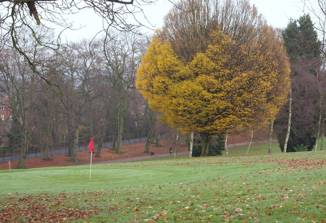
Image: © David Hallam-Jones Taken: 24 Nov 2012
A view across part of the 18 hole pitch and putt course in Woodthorpe Grange Park as seen from the main path between the snack kiosk and Mansfield Road.The boundary fence on the opposite side of the park that faces the houses on Woodthorpe Drive forms the boundary between the Nottingham Council and Gedling Council jursidictions.
Images are licensed for reuse under creativecommons.org/licenses/by-sa/2.0
Image Location
Latitude
52.985266
Longitude
-1.138405