Lane on Bore Hill
Introduction
The photograph on this page of Lane on Bore Hill by Chris Heaton as part of the Geograph project.
The Geograph project started in 2005 with the aim of publishing, organising and preserving representative images for every square kilometre of Great Britain, Ireland and the Isle of Man.

There are currently over 7.5m images from over 14,400 individuals and you can help contribute to the project by visiting https://www.geograph.org.uk
Lane on Bore Hill
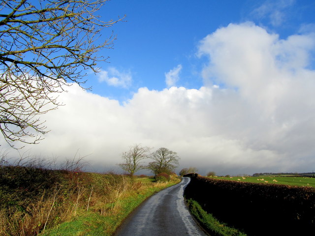
Image: © Chris Heaton Taken: 23 Nov 2012
Denton Lane heading north to service various isolated farms and dwellings, eventually degrading to a track as it hits the moors
Images are licensed for reuse under creativecommons.org/licenses/by-sa/2.0
Image Location
Latitude
53.941337
Longitude
-1.789281