Willersley Avenue
Introduction
The photograph on this page of Willersley Avenue by Ian Capper as part of the Geograph project.
The Geograph project started in 2005 with the aim of publishing, organising and preserving representative images for every square kilometre of Great Britain, Ireland and the Isle of Man.

There are currently over 7.5m images from over 14,400 individuals and you can help contribute to the project by visiting https://www.geograph.org.uk
Willersley Avenue
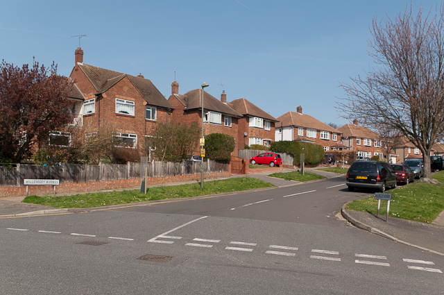
Image: © Ian Capper Taken: 29 Mar 2012
1950s housing in an area north of Tubbenden Lane (although development of the far end of the road appears on the 1938-48 1:10,460 map). Seen here at its junction with Tile Farm Road.
Images are licensed for reuse under creativecommons.org/licenses/by-sa/2.0
Image Location
Latitude
51.367887
Longitude
0.080124