Wheat Field
Introduction
The photograph on this page of Wheat Field by Nigel Mykura as part of the Geograph project.
The Geograph project started in 2005 with the aim of publishing, organising and preserving representative images for every square kilometre of Great Britain, Ireland and the Isle of Man.

There are currently over 7.5m images from over 14,400 individuals and you can help contribute to the project by visiting https://www.geograph.org.uk
Wheat Field
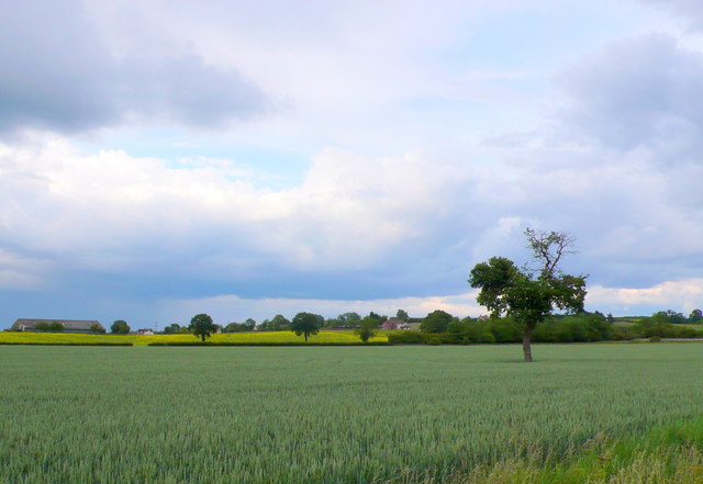
Image: © Nigel Mykura Taken: 10 Jun 2011
This field of unripe wheat is in the northern part of the grid square just to the north of Featherbed Lane. The large barn on the left is on a track running off the A3400 Birmingham Road and the houses at the centre are on a smaller track also running off the main road.
Images are licensed for reuse under creativecommons.org/licenses/by-sa/2.0
Image Location
Latitude
52.226679
Longitude
-1.745509