Barns and fields at Bridge House
Introduction
The photograph on this page of Barns and fields at Bridge House by Trevor Littlewood as part of the Geograph project.
The Geograph project started in 2005 with the aim of publishing, organising and preserving representative images for every square kilometre of Great Britain, Ireland and the Isle of Man.

There are currently over 7.5m images from over 14,400 individuals and you can help contribute to the project by visiting https://www.geograph.org.uk
Barns and fields at Bridge House
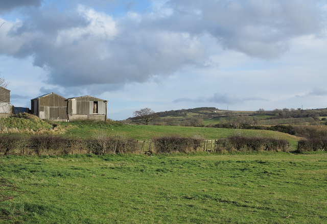
Image: © Trevor Littlewood Taken: 23 Nov 2012
Hummerbeck Lane passes the farm of Bridge House; this image was recorded from the lane just west of the farm.
Images are licensed for reuse under creativecommons.org/licenses/by-sa/2.0
Image Location
Latitude
54.618384
Longitude
-1.719213