Drain, Dundonald
Introduction
The photograph on this page of Drain, Dundonald by Albert Bridge as part of the Geograph project.
The Geograph project started in 2005 with the aim of publishing, organising and preserving representative images for every square kilometre of Great Britain, Ireland and the Isle of Man.

There are currently over 7.5m images from over 14,400 individuals and you can help contribute to the project by visiting https://www.geograph.org.uk
Drain, Dundonald
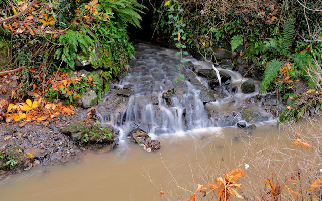
Image: © Albert Bridge Taken: 22 Nov 2012
A culverted storm drain, flowing into the Enler, downstream from Graham’s Bridge Image The flow is greater than usual and the river muddier after heavy rain overnight.
Images are licensed for reuse under creativecommons.org/licenses/by-sa/2.0
Image Location
Latitude
54.585276
Longitude
-5.797485