Bennachie Way
Introduction
The photograph on this page of Bennachie Way by Paul McIlroy as part of the Geograph project.
The Geograph project started in 2005 with the aim of publishing, organising and preserving representative images for every square kilometre of Great Britain, Ireland and the Isle of Man.

There are currently over 7.5m images from over 14,400 individuals and you can help contribute to the project by visiting https://www.geograph.org.uk
Bennachie Way
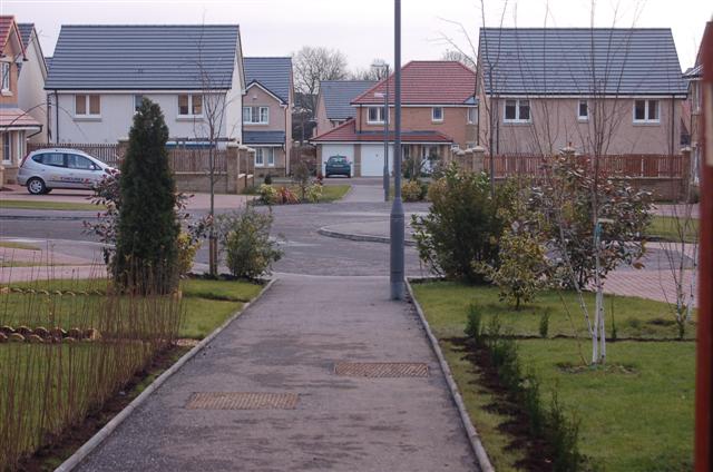
Image: © Paul McIlroy Taken: 25 Jan 2007
An example of the many thousands of new homes that have been built in this area in the last five years.
Images are licensed for reuse under creativecommons.org/licenses/by-sa/2.0
Image Location
Latitude
56.061605
Longitude
-3.398606