Woodland corridor
Introduction
The photograph on this page of Woodland corridor by Stephen Craven as part of the Geograph project.
The Geograph project started in 2005 with the aim of publishing, organising and preserving representative images for every square kilometre of Great Britain, Ireland and the Isle of Man.

There are currently over 7.5m images from over 14,400 individuals and you can help contribute to the project by visiting https://www.geograph.org.uk
Woodland corridor
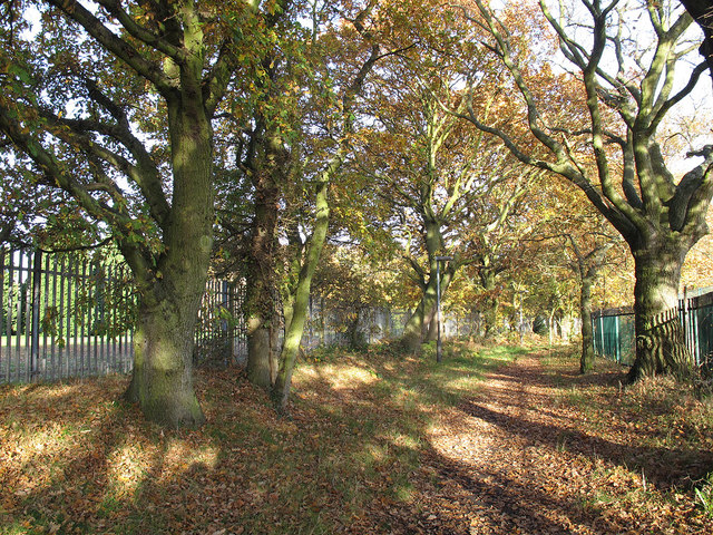
Image: © Stephen Craven Taken: 18 Nov 2012
The mature trees either side of the Green Chain Walk at this point form a narrow corridor between two open spaces: the golf course to the left, and the sports files of Crown Woods College to the right.
Images are licensed for reuse under creativecommons.org/licenses/by-sa/2.0
Image Location
Latitude
51.454728
Longitude
0.073734