Woodthorpe flats from Sherwood Vale
Introduction
The photograph on this page of Woodthorpe flats from Sherwood Vale by Richard Vince as part of the Geograph project.
The Geograph project started in 2005 with the aim of publishing, organising and preserving representative images for every square kilometre of Great Britain, Ireland and the Isle of Man.

There are currently over 7.5m images from over 14,400 individuals and you can help contribute to the project by visiting https://www.geograph.org.uk
Woodthorpe flats from Sherwood Vale
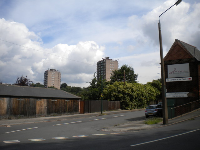
Image: © Richard Vince Taken: 14 Jul 2012
Woodthorpe Court (left) and Winchester Court seen from the bottom of Sherwood Vale as it descends to meet Winchester Street.
Images are licensed for reuse under creativecommons.org/licenses/by-sa/2.0
Image Location
Latitude
52.982558
Longitude
-1.136969