Tourist Centre and NatWest Talgarth
Introduction
The photograph on this page of Tourist Centre and NatWest Talgarth by Jaggery as part of the Geograph project.
The Geograph project started in 2005 with the aim of publishing, organising and preserving representative images for every square kilometre of Great Britain, Ireland and the Isle of Man.

There are currently over 7.5m images from over 14,400 individuals and you can help contribute to the project by visiting https://www.geograph.org.uk
Tourist Centre and NatWest Talgarth
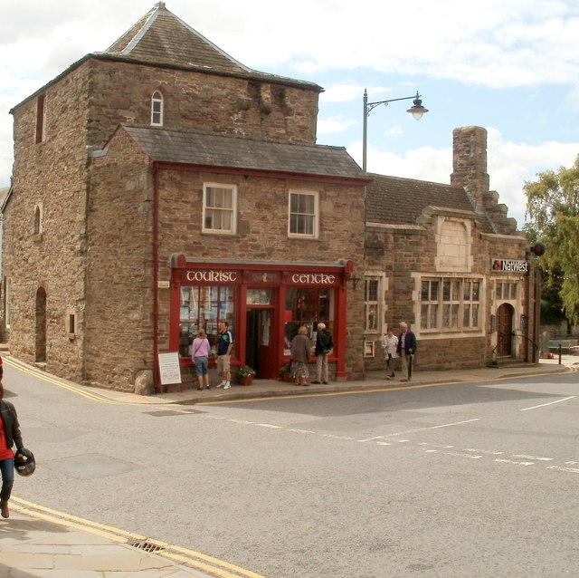
Image: © Jaggery Taken: 14 Aug 2011
Located in The Square, at the SE end of Bronllys Road. The tourist centre occupies part of the medieval Tower House, probably dating from the 14th century, built to guard the bridge across the River Ennig.
Images are licensed for reuse under creativecommons.org/licenses/by-sa/2.0
Image Location
Latitude
51.995824
Longitude
-3.232882