Papplewick, NG15 - Grange Farm
Introduction
The photograph on this page of Papplewick, NG15 - Grange Farm by David Hallam-Jones as part of the Geograph project.
The Geograph project started in 2005 with the aim of publishing, organising and preserving representative images for every square kilometre of Great Britain, Ireland and the Isle of Man.

There are currently over 7.5m images from over 14,400 individuals and you can help contribute to the project by visiting https://www.geograph.org.uk
Papplewick, NG15 - Grange Farm
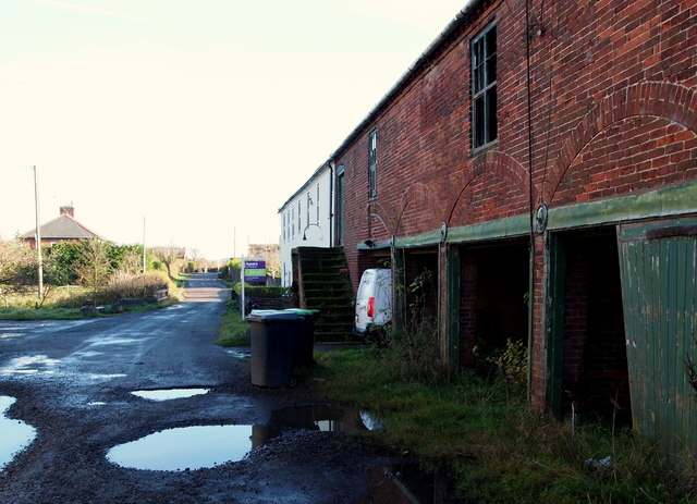
Image: © David Hallam-Jones Taken: 17 Nov 2012
This track connects Grange Farm - currently "For Sale" - and a small number of private homes (Grange Farm Cottages) with Moor Road (the B683) that can be seen in the distance. Behind the photographer and beyond a farm yard area, temporary security fencing has been erected to separate this very dilapidated farm from a housing construction site accessed via Papplewick Lane, Hucknall.
Images are licensed for reuse under creativecommons.org/licenses/by-sa/2.0
Image Location
Latitude
53.045817
Longitude
-1.184186