Launceston Golf Course
Introduction
The photograph on this page of Launceston Golf Course by Tony Atkin as part of the Geograph project.
The Geograph project started in 2005 with the aim of publishing, organising and preserving representative images for every square kilometre of Great Britain, Ireland and the Isle of Man.

There are currently over 7.5m images from over 14,400 individuals and you can help contribute to the project by visiting https://www.geograph.org.uk
Launceston Golf Course
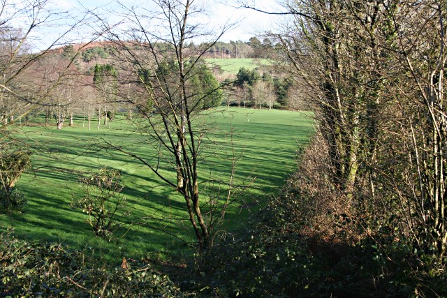
Image: © Tony Atkin Taken: 25 Jan 2007
Seen through the hedge in the southwest corner of the course, this activity takes up most of the southern quarter of this grid square.
Images are licensed for reuse under creativecommons.org/licenses/by-sa/2.0
Image Location


Leaflet Map data © OpenStreetMap
Latitude
50.650151
Longitude
-4.384873